ACx3.net is a GIS database website dedicated to the Geology, Ecology and People of the Appalachian-Caledonian Corridor, from the Appalachian Mountains of the eastern United States and Canada to the Caledonian Mountains of Greenland, Ireland, the United Kingdom and Norway; then south to the Variscan Mountains of Spain and Portugal, before crossing the Mediterranean Sea to the Anti-Atlas Mountains of Morocco.
What is ACx3?
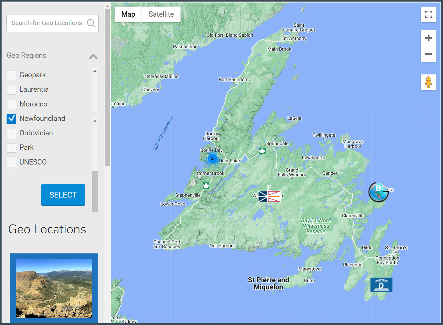
Each geographic category is organized into Transnational, Regional and Local layers, with the latter two accessible via the Geo Finder (at left). Its left column lists the search entries, which are located on the map by custom Geo markers, which in turn link to corresponding web pages.
Transnational and Regional categories are further divided into three sub-categories, with Geology divided into Geological History, Geographic Distribution and Academic History; Ecology divided into Ecological History, Ecological Zones and Biological Diversity; and People divided into Ethnicity and Religion, Politics and Industry, and Culture and Recreation. Local entries are geographic summaries which link to external webpages for further detail.
ACx3.net is a not-for-profit educational project coordinated by the International Appalachian Trail Newfoundland and Labrador (IATNL) in conjunction with Cabox Geopark spanning the Bay of Islands Ophiolite and adjacent sections of the Humber Arm Allochthon located in Western Newfoundland, at the center of the Appalachian-Caledonian Orogen; with input from various academics, educational institutions, and geotourism organizations.


