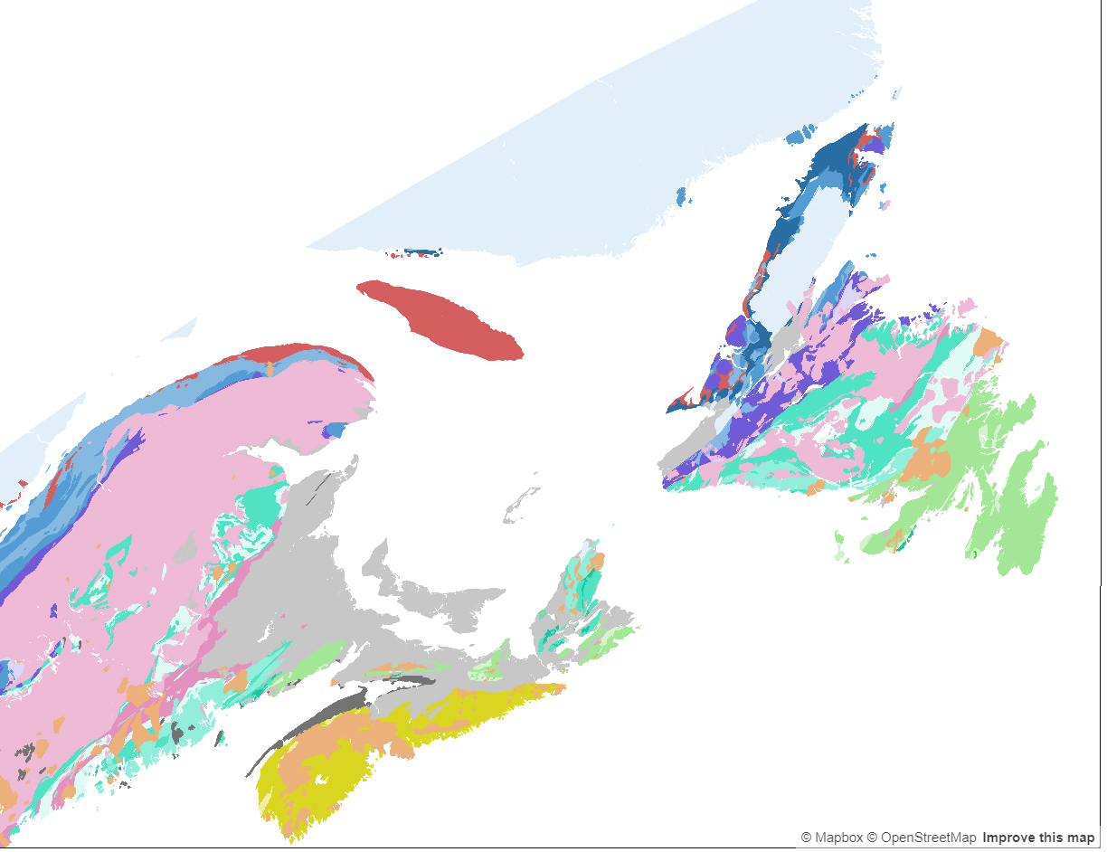
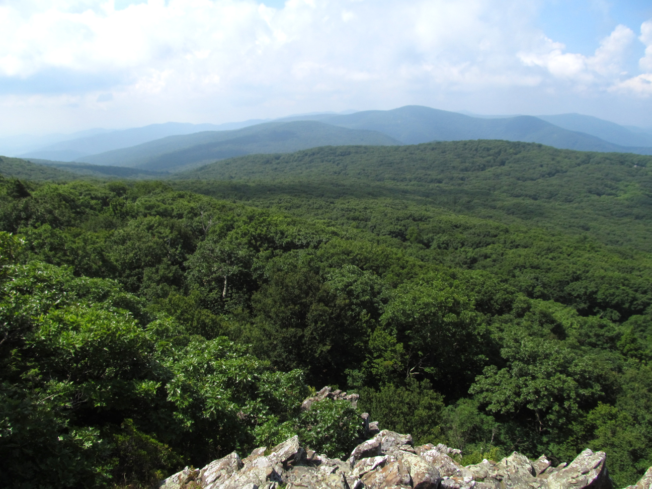
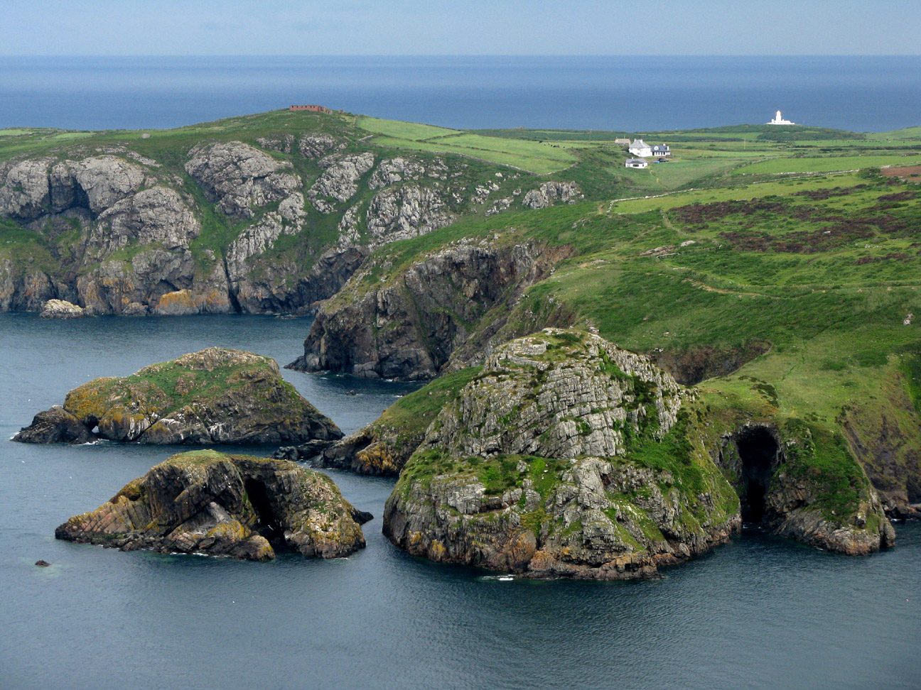
The Appalachian Mountains, often simply referred to as the Appalachians, form one of the major mountain ranges in North America, stretching approximately 1,500 miles (2,400 kilometers) from the Canadian province of Newfoundland and Labrador in the north to central Alabama in the southeastern United States. The range spans across several states, including Maine, New Hampshire, Vermont, Massachusetts, Connecticut, New York, Pennsylvania, Maryland, West Virginia, Virginia, Ohio, Kentucky, Tennessee, North Carolina, South Carolina, and Georgia. These majestic mountains have played a significant role in shaping the geography, ecology, and cultural heritage of the regions they traverse.
Geology - Geographic Delineation
Geologically, the Appalachians are classified as a mature mountain range, characterized by rounded peaks, deeply carved valleys, and extensive forests. They were formed over hundreds of millions of years through a series of tectonic collisions and geological processes.
The initial formation of the Appalachian Mountains dates back to the Paleozoic Era, approximately 480 million years ago, during the assembly of the supercontinent Pangaea. Over time, the range experienced multiple periods of uplift, erosion, and glaciation, sculpting the landscape into its present form.
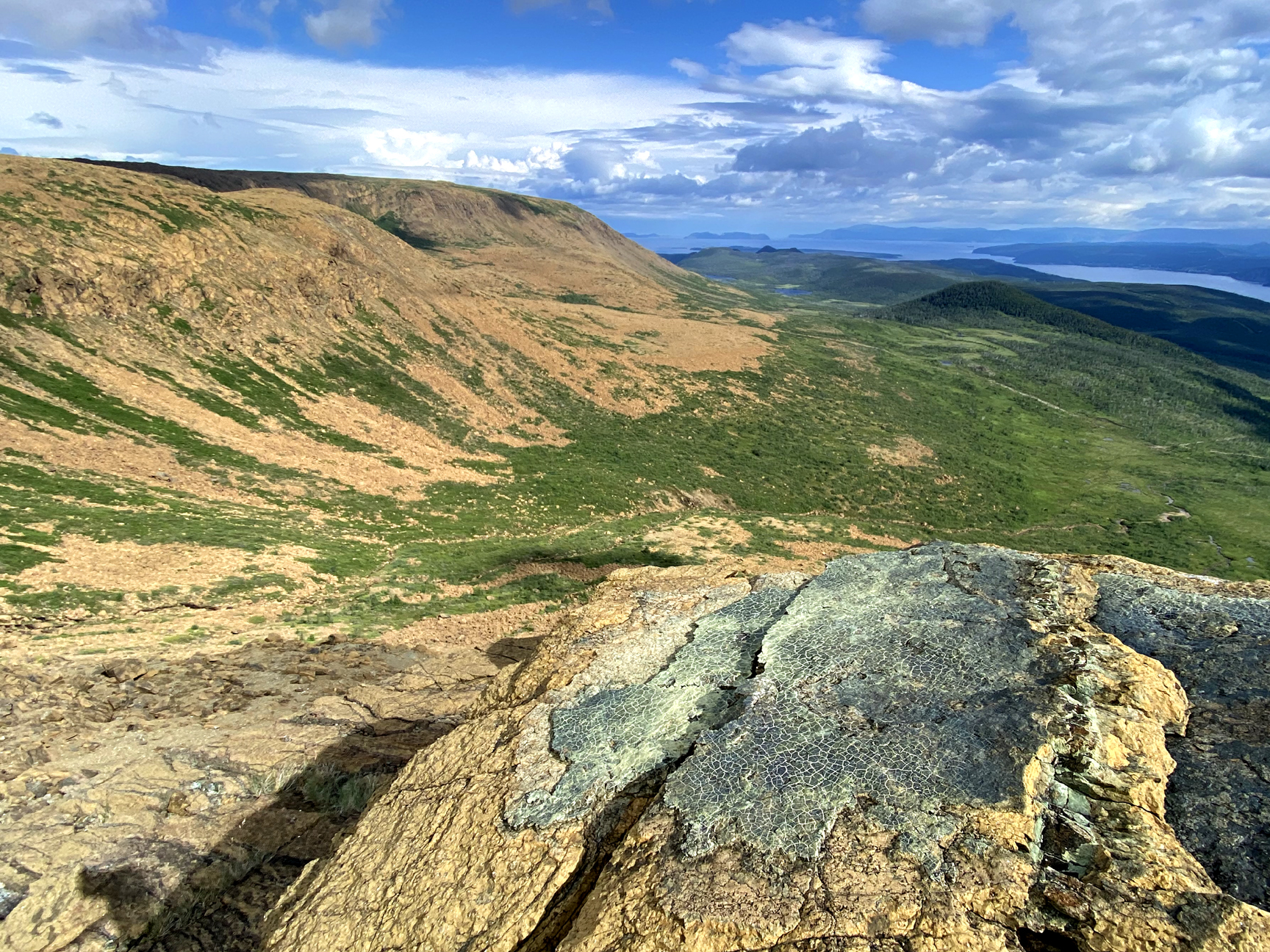
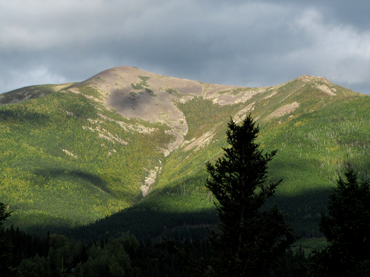
The northernmost section of the Appalachians begins in the rugged wilderness of Newfoundland and Labrador, Canada, where the range is known as the Long Range Mountains. From there, it extends southward into the Maritime provinces of Canada, including Nova Scotia, New Brunswick and Quebec, before crossing the border into the northeastern United States. In this region, the mountains are characterized by dense forests, pristine lakes, and rugged terrain, attracting outdoor enthusiasts and nature lovers from far and wide.
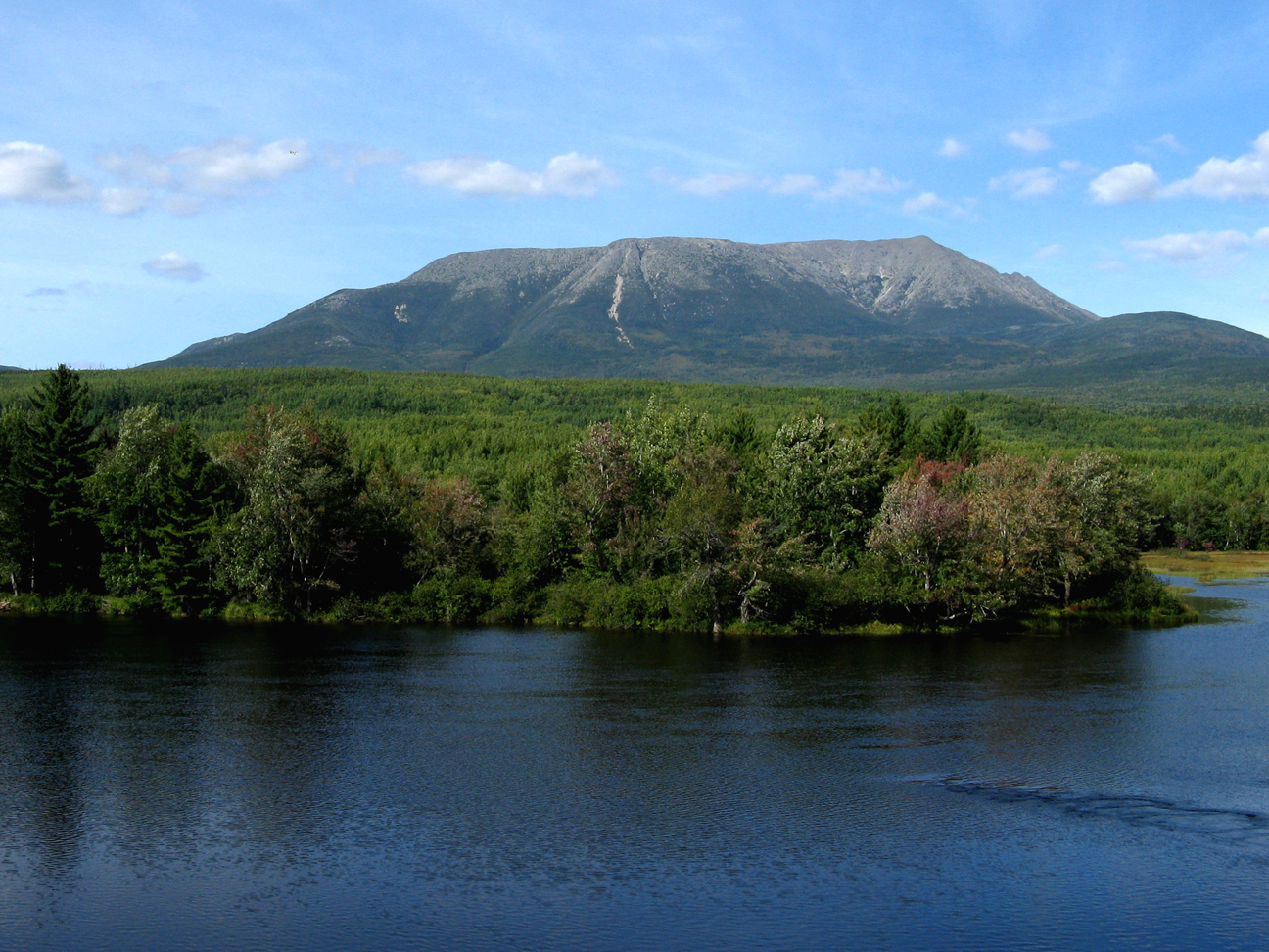
As the range continues southward, it passes through the states of Maine, New Hampshire, Vermont, and Massachusetts, where it is known as the Green Mountains and the Berkshires. These areas are renowned for their scenic beauty, particularly during the fall foliage season when the forests erupt in a riot of red, orange, and gold hues.
Moving southwestward, the Appalachians traverse through the states of New York and Pennsylvania, where they are known for their rich coal deposits and historic significance. The Allegheny Mountains, a major subrange of the Appalachians, dominate this region, providing a rugged backdrop for cities such as Pittsburgh and Scranton.
Further south, the Appalachian range extends into the states of Maryland and West Virginia, where it reaches its highest elevations. Here, iconic peaks such as Spruce Knob, the highest point in West Virginia, rise above the surrounding landscape, offering stunning panoramic views of the Allegheny Plateau.
Continuing into Virginia, the Appalachians are punctuated by the Blue Ridge Mountains, a subrange known for its distinctive blue haze caused by the release of volatile organic compounds from the dense forests. The Blue Ridge Parkway, often touted as one of America’s most scenic drives, winds its way through this region, offering travelers breathtaking vistas of rolling hills and verdant valleys.
As the range extends further southward, it passes through the states of North Carolina, South Carolina, and Georgia, where it gradually tapers off into the foothills of the Piedmont region. Here, the mountains give way to rolling hills and fertile plains, marking the end of the Appalachian range.
The Caledonian Mountains, also known as the Caledonides, represent a historic and geologically significant mountain range in Europe, stretching across present-day Scotland, Ireland, Norway and Greenland. These ancient mountains played a pivotal role in the geological evolution of the regions they inhabit, shaping landscapes and influencing the course of history for millions of years.
The origins of the Caledonian Mountains date back to the Paleozoic Era, approximately 490 to 390 million years ago, during a period of intense tectonic activity known as the Caledonian orogeny. At that time, the supercontinent of Laurentia, which included present-day North America, collided with the continent of Baltica, encompassing parts of modern-day Scandinavia and Greenland. This collision resulted in the formation of a vast mountain range that spanned across the northern hemisphere.
The Caledonian orogeny was a complex process involving the compression, folding, and uplift of the Earth’s crust, leading to the formation of towering peaks, deep valleys, and extensive fault systems. The mountain-building event was driven by the convergence of continental plates, which caused the crust to buckle and deform, creating the rugged terrain characteristic of the Caledonian Mountains.
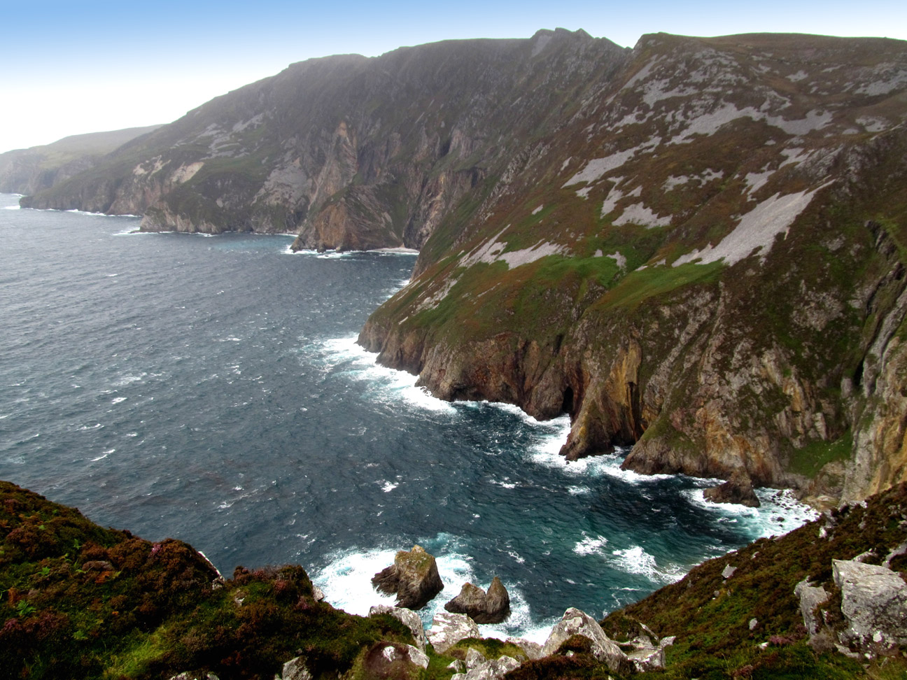
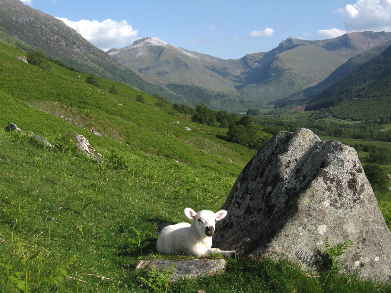
In Scotland, the remnants of the Caledonian Mountains form the Scottish Highlands, a region renowned for its breathtaking landscapes, ancient rock formations, and rich cultural heritage. The Highlands are dominated by rugged peaks, including Ben Nevis, the highest mountain in the British Isles, which rises to an elevation of 1,345 meters (4,413 feet) above sea level. These mountains are interspersed with deep glacial valleys, pristine lochs, and cascading waterfalls, creating a dramatic and awe-inspiring landscape that attracts outdoor enthusiasts and nature lovers from around the world.
The Caledonian Mountains also extend into Scandinavia, where they are known as the Scandinavian Mountains or Scandes. This mountain range stretches along the western coast of Norway and Sweden, forming a natural barrier between the Norwegian Sea and the Baltic Sea. The Scandinavian Mountains are characterized by rugged peaks, deep fjords, and extensive glaciers, offering unparalleled opportunities for hiking, skiing, and mountaineering.
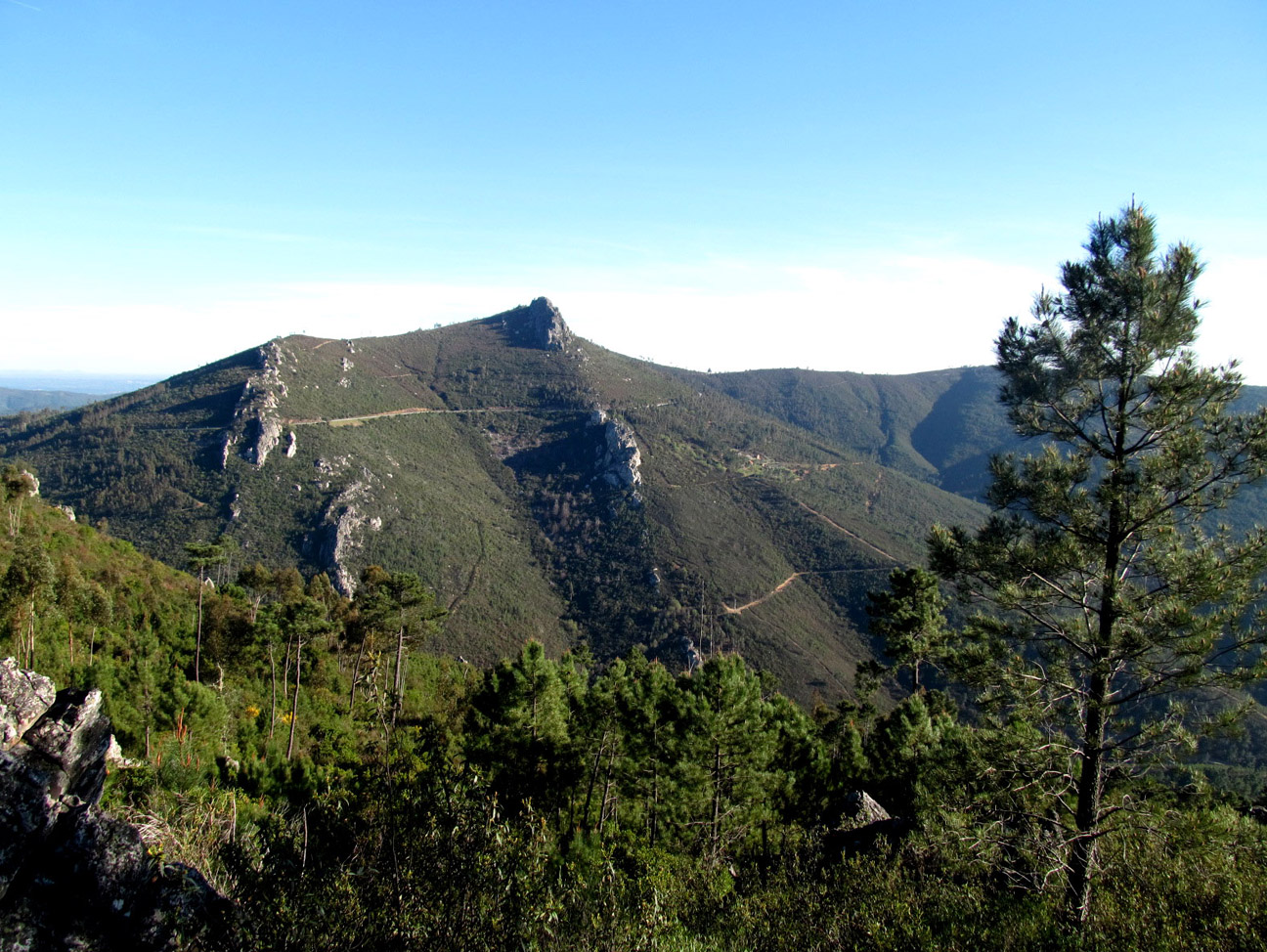
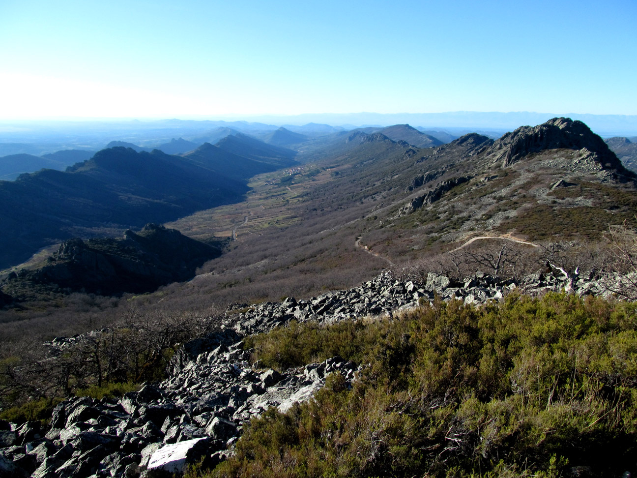
The Variscan Mountains, also known as the Variscides or Variscan orogeny, represent a significant geological feature of the Iberian Peninsula, shaping its landscape, geology, and cultural history. Spanning across Portugal and Spain, these ancient mountains hold a rich tapestry of geological formations, diverse ecosystems, and cultural heritage that reflect their profound influence on the region.
The Variscan orogeny occurred during the Paleozoic Era, approximately 380 to 280 million years ago, as a result of the collision of several continental plates. The collision led to the formation of a vast mountain chain that stretched across what is now Europe, including present-day Iberia. The Variscan Mountains are part of this larger orogenic belt, which also extends into France, Germany, and Central Europe.
Geologically, the Variscan Mountains consist of a complex assemblage of rocks, including metamorphic, igneous, and sedimentary formations, which were subjected to intense tectonic forces during the orogeny. These forces resulted in the folding, faulting, and uplift of the Earth’s crust, creating the rugged topography and diverse geological structures that characterize the region.
One of the most prominent features of the Variscan Mountains is the presence of granitic intrusions, which formed as magma intruded into the Earth’s crust during the orogeny. These granitic plutons, such as those found in the Galicia region of Spain, have since been exposed through erosion, creating striking landscapes of granite outcrops and rocky peaks.
The Variscan Mountains also exhibit a variety of sedimentary rocks, including sandstones, shales, and limestones, which were deposited in ancient seas and river systems prior to the orogeny. These sedimentary layers, now folded and faulted, provide valuable insights into the geological history of the region and contain important fossil records of ancient marine life.
The Anti-Atlas Mountains, situated in southern Morocco, form a striking geological feature that contrasts with the more famous High Atlas Mountains to the north. Despite their less prominent reputation, the Anti-Atlas range holds its own allure, characterized by rugged terrain, dramatic landscapes, and a rich cultural heritage that reflects the history of the region.
Geologically, the Anti-Atlas Mountains, which began forming 300 million years ago during the Paleozoic Era, are distinct from the High Atlas (beginning 80 million years ago), consisting mainly of ancient rocks such as granite, schist, and limestone that were formed during the Precambrian and Paleozoic eras. Unlike the towering peaks of the High Atlas, the Anti-Atlas range is characterized by lower elevations and deeply eroded valleys, giving it a more subdued profile on the landscape.
One of the most notable features of the Anti-Atlas Mountains is their unique geological formations, including folded anticlines and synclines that bear witness to the tectonic forces that shaped the region millions of years ago. These geological structures have been exposed through erosion, creating dramatic cliffs, gorges, and escarpments that add to the rugged beauty of the landscape.
The Anti-Atlas Mountains are also known for their mineral wealth, with deposits of copper, silver, and other metals scattered throughout the region. Historically, mining has been an important economic activity in the area, dating back to ancient times when the Phoenicians and Romans extracted minerals from the mountains. Today, small-scale mining operations continue to operate in some parts of the Anti-Atlas, contributing to the local economy.
[Source: ChatGPT]


