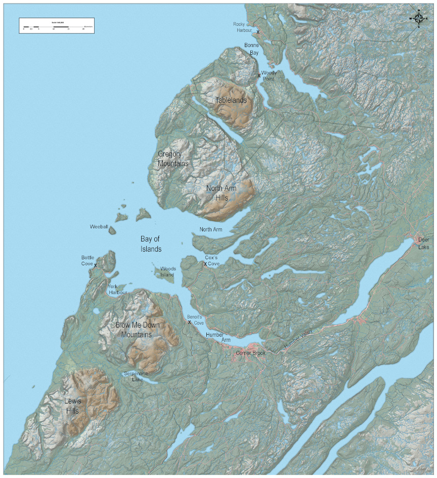
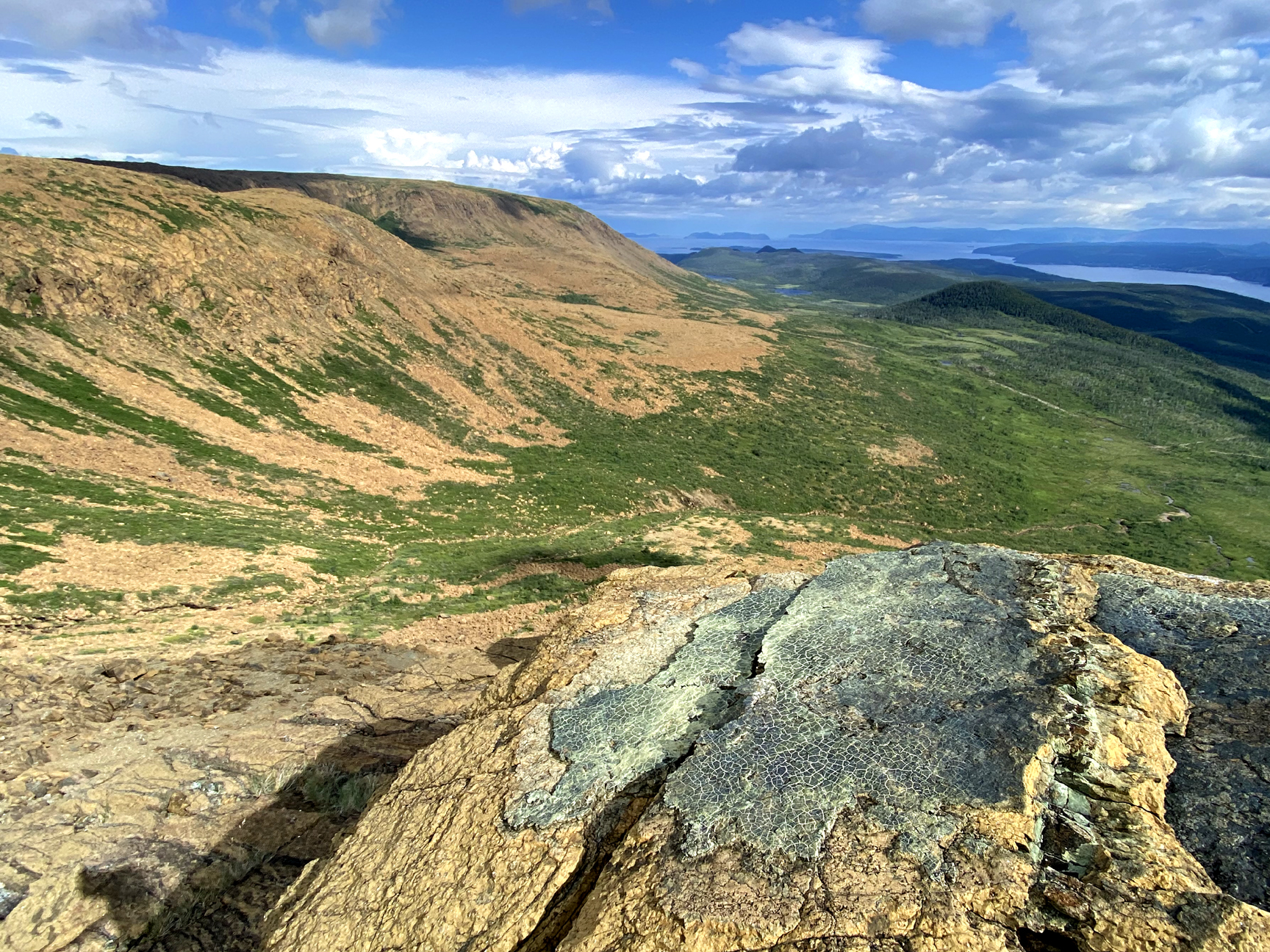
Cabox Geopark is currently located in Western Newfoundland; however its origins can be traced back to the Tropics, where 500 million years ago it lay at the eastern edge of the landmass that would become North America. Its unique geological record spans the closing of the proto-Atlantic Iapetus Ocean and formation of the Appalachian Caledonian Mountains. From the Little Port Island Arc and Bay of Islands Ophiolite Complex to the Transported Continental Margin and Ancient Continental Slope of Laurentia, the region at the core of the Humber Arm Allochthon exhibits both the geologic and academic story of plate tectonics and associated mountain building processes.
Cabox Geopark
Significant geological features include ophiolite massifs composed primarily of ultramafic peridotite from the earth’s mantle, mafic gabbro and basalt pillow lavas from the floor of the Iapetus Ocean, as well as sedimentary folds, faults, thrusts and synclines composed of bedded limestone, sandstone and breccia from the continental slope and shelf of Laurentia (i.e., ancient North America).
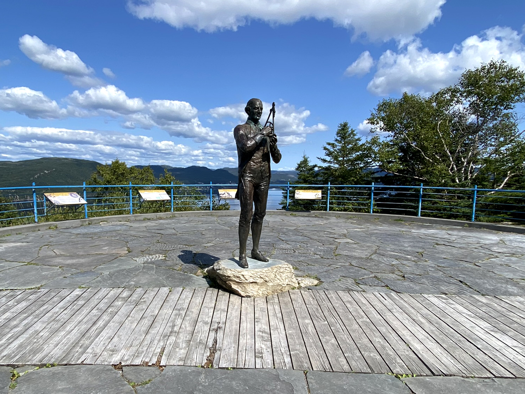
Fast-forward to the mid-18th century when renowned surveyor, cartographer and explorer James Cook drew an outline of the region, which prominent geologists, including Alexander Murray, James Howley and Harold Williams proceeded to “color” in. In 1978, Williams published his Tectonic Lithofacies Map of the Appalachian Orogen, which described and delineated the Appalachian Mountains, from Georgia to Newfoundland.


