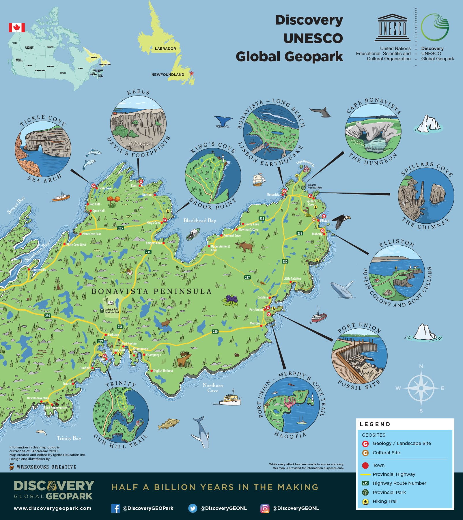
Discovery UNESCO Global Geopark is situated on Newfoundland’s Bonavista Peninsula, along a series of highways aptly named the “Discovery Trail”. It includes approximately 280km of stunning rugged coastline and incorporates an area of approximately 1150 square kilometers. The boundary comprises 27 communities, including seven incorporated municipalities, and a population of about 8000 people. There are no indigenous communities within its boundaries, the culturally extinct Beothuk people are honoured at the Beothuk Interpretation Centre Provincial Historic Site located in Boyd’s Cove. The centre houses exhibits, artifacts and the remains of a Beothuk village site celebrating the Beothuk people who once occupied the island.
Discovery Geopark
The current population of the Bonavista Peninsula, as with most of the island of Newfoundland, is comprised primarily of the descendants of English, Irish, Scottish and French immigrants from over the past 400 years. The name Discovery references the historic landing of Italian explorer Giovanni Caboto (aka John Cabot) who “discovered” the New Founde Land on June 24, 1497. According to legend, upon landing and finding the sea teaming with cod fish, his first words were “O buono vista!”
The Geopark has a land surface with elevations up to 350 metres above sea level. Much of the area is below 180 metres, with the higher elevations corresponding to the western edge of the more resistant geological unit of the Musgravetown Group. The Bonavista Peninsula is flanked by Trinity Bay (down to 500 metres deep) and Bonavista Bay (down to 200 metres deep), and incised by fiord valleys including Clode Sound, Goose Bay, Sweet Bay and Southern Bay on the north coast, and Northwest Arm and Smith Sound on the south coast. These fiords reach depths of 200 metres.
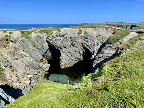
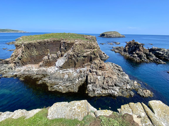
The Geopark’s history is based upon subsistence living along this coastal backdrop. The landscape is diverse, comprising three ecodistricts: North Shore Forest in the west, Northeastern Barrens Subregion in the east and Eastern Hyper – Oceanic Barrens Ecoregion in the northeastern tip of the Bonavista Peninsula. Due to its strategic geographical positioning, and the influences of climatic, geological and glacial factors, the region has a diverse ecological setting with a corresponding natural diversity of plant and animal communities. The coastal geography of the area is formed from the action of the ocean
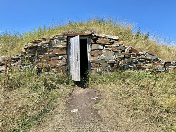
Life on the Bonavista Peninsula has revolved around the fishery for thousands of years. Indigenous peoples first settled along the coastline of Bonavista Bay to look for shellfish, trout and salmon. The migration of the cod into the bay and harbours around Bonavista created an abundant harvest. Within a few years of Cabot’s voyage the existence of fishing grounds on the Grand Banks became generally known in Europe. Ships from France and Portugal were first to fish there, followed by those from Spain. These fish stocks thus became important for the early economies of Newfoundland and were the main reason European settlers established permanent colonies on the island.


